
Antarctic Facilities Information
Antarctica is designated as “a natural reserve, devoted to peace and science” (Environmental Protocol 1991). Continental Antarctica is big, but the majority of the land is covered in ice. The Antarctic ice sheet is the largest single mass of ice on Earth. It covers an area of almost 14 million km² (6.5 million square miles) and contains 30 million km³ of ice. Around 90 per cent of the fresh water on the Earth’s surface is held in the ice sheet, an amount equivalent to 70m of water in the world’s oceans. In East Antarctica the ice sheet rests on a major land mass, but in West Antarctica the bed is in places more than 2500m below sea level. It would be seabed if the ice sheet were not there.
A small area (less than one percent) is free of ice and the continent contains some of the most spectacular mountain ranges anywhere in the World. The most extensive are the Antarctic Peninsula, 1700km, and the Transantarctic Mountains, 3000km. The highest mountain, Vinson Massif in the Ellsworth Mountains, peaks at 4897m.
Around the coasts of Antarctica, temperatures are generally close to freezing in the summer (December–February) months, or even slightly positive in the northern part of the Antarctic Peninsula. During winter, monthly mean temperatures at coastal stations are between −10°C and −30°C but temperatures may briefly rise towards freezing when winter storms bring warm air towards the Antarctic coast. Conditions on the interior plateau are much colder as a result of its higher elevation, higher latitude and greater distance from the ocean. Here, summer temperatures struggle to get above −20°C and monthly mean temperatures fall below −60°C in winter. Vostok Station, a high plateau research station, holds the record for the lowest ever temperature recorded at the surface of the Earth (−89.2°C). In August 2010, a NASA satellite recorded an Antarctic temperature of −94.7°C (−135.8°F).
The National Antarctic Programs operate a range of facilities in Antarctica in support of scientific research there.
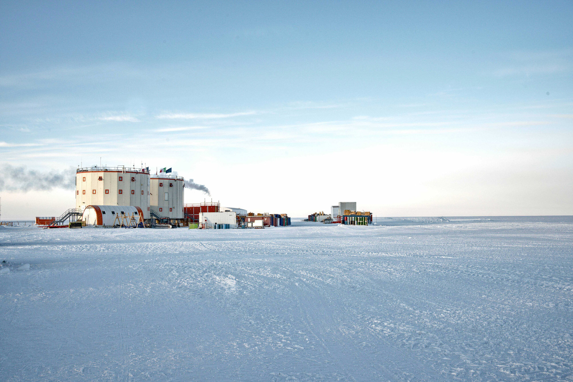
This webpage provides several opportunities for public access to information on the Antarctic facilities operated by those 34 COMNAP Member National Antarctic Programs. The COMNAP National Antarctic Programs operate a range of facilities in the Antarctic Treaty area in support of their scientific programs. A Web-based map of the main facilities, their locations and related data is available on-line here (or select any area on the map). Choose any dot on the below map to see information on that particular facility, in many cases the information includes a facility photograph and a link to a facility webcam. The yellow dots indicate year-round facilities. The red dots indicate seasonal facilities.

Alternatively, you can browse the COMNAP Antarctic Station Catalogue. The COMNAP Antarctic Station Catalogue project began as a collaboration with the EU-PolarNet on their European Polar Infrastructures Project. Information from 30 COMNAP Member National Antarctic Programs on their Antarctic stations can be found in the Antarctic Station Catalogue. The catalogue was produced in August 2017 as a tool for National Antarctic Programs in support of international cooperation in science. It also is an informative tool for the Antarctic community and for the general public.
Information on Antarctic facilities can also be found on the Antarctic Treaty Secretariat website. See, for example: Map of Antarctic Inspected Facilities.
Data & data usage
The COMNAP Antarctic facilities is a comprehensive list of Antarctic facilities with a status of 'Open' or 'Temporarily Closed'. The information included in the datasets was provided by each National Antarctic Program to COMNAP. You can download the COMNAP Antarctic Facilities List (November 2024), which includes geospatial data for all the facilities used by National Antarctic Programs for science and science support activities.
Additionally, COMNAP maintains a curated list of Antarctic vessels administrated by/for National Antarctic Programs. The COMNAP Antarctic Vessels list (November 2024) is a comprehensive list of the vessels administered by/for National Antarctic Programs currently operating below 60°S latitude for science/science support and logistics purposes. The information included in the datasets was provided by each National Antarctic Program to COMNAP.
Disclaimer
The COMNAP Antarctic facilities list and the COMNAP Antarctic Vessels list are copyright to COMNAP and the information was provided by the COMNAP member National Antarctic Programs. The listing of any facility does not imply any right of use. The facilities are established and maintained by National Antarctic Programs strictly for their own use, they are not designed or provided for use by others. Prior agreement must be obtained to use facilities maintained by another operator. The relevant legal instruments and authorisation procedures adopted by the States, Party to the Antarctic Treaty that regulates activities to the area south of 60°S latitude, must be complied with. For more information, contact the Antarctic Treaty Secretariat. The COMNAP vessels list is copyright to COMNAP and the information was provided by the COMNAP member National Antarctic Programs. The listing of any vessels does not imply any right of use.
Data may be freely used for educational and non-commercial purposes only: if in doubt, please contact the COMNAP Secretariat. Reference for the use of the material is COMNAP 2025.